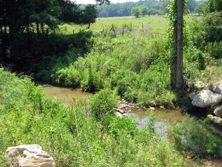
My legs have stopped hurting and I can almost walk normally, so it's time for an update on the Bio Blitz. As happy as I am about finding flame chubs and a palezone shiner in Hurricane Creek, finding a banded darter (
Etheostoma zonale) at the site is also interesting. I had forgotten that the NatureServe subnational (S) status rank for banded darters in Alabama is S2, or Imperiled. This is mostly a function of edge of range, with banded darters found only in a few streams in far north Alabama. I'm not certain that I've seen banded darters in Estill Fork of the Paint Rock River, the next stream to the west that I've collected in a number of times. Hurricane Creek is an ideal habitat for banded darters, being a large creek with moderate gradient and a substrate of cobble and gravel. My guess is that the population in Hurricane Creek could be the largest and most stable in the state. Not that banded darters are in any real danger, the global (G) status for the species is G5, Secure, since it's still found from Kansas to New York state with healthy populations especially in Tennessee, Kentucky and West Virginia.
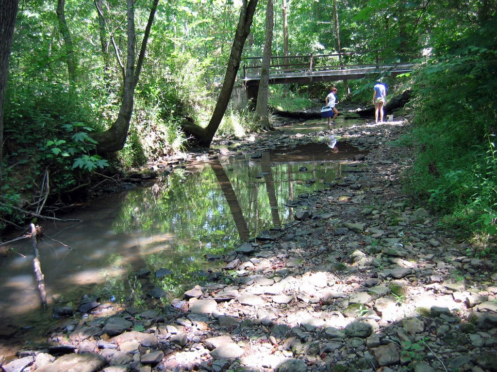
I emailed Nick Sharp and told him that we'd be up for visiting the site again for a collecting day to further complete the species inventory next month if he'd like, with the big condition that he drive us in and out. Hurricane Creek sits at the bottom of a deeper gorge than I had realized, such that hiking in and out in one day is serious business, not even counting stream work. I've talked to two of the four students who went with me and they both said they had a great time but were sore all over for the rest of the weekend. Since they're about 30 years younger than I am and in good shape, I feel better about feeling well used myself. But damn that was fun!
For comparison, the following is from a posting on the NANFA mailing list I made about a trip to Estill Fork of the Paint Rock. The species list is roughly what I would expect at Hurricane Creek, which joins Estill Fork about 15 km downstream from the Bio Blitz site. And I'd forgotten that Nick Sharp had joined us on that trip, just as he was graduating from UAH. Notice that we didn't find flame chubs or banded darters, and we found no mosquitofish in Hurricane Creek:
Estill Fork at County Road 140, Jackson Co, AL. 26 May 2001. Dave Neely, Casper Cox, Bruce Stallsmith, Steven Ellis, Nick Sharp, Vitaly from Birmingham. Mostly snorkelling, some collecting with seine and dip net. Notes: Beautiful gravel, lush water willow beds, crystal clear water at 65 F, pH 7.6 and TDS 160 ppm. Species observed: longnose gar, largescale stoneroller, streamline chub, bigeye chub, striped shiner, scarletfin shiner, mountain shiner, palezone shiner (federally endangered, all released immediately!), bigeye shiner, Tennessee shiner, telescope shiner, sawfin shiner, bluntnose minnow, northern hogsucker, shorthead redhorse, black or golden redhorse, mosquitofish, northern studfish,blackspotted topminnow, banded sculpin, rock bass, bluegill, longear sunfish, smallmouth bass, spotted bass, rainbow darter, fantail darter, stripetail darter, redline darter, Tennessee snubnose darter, greenside darter, blueside darter, blotchside logperch.
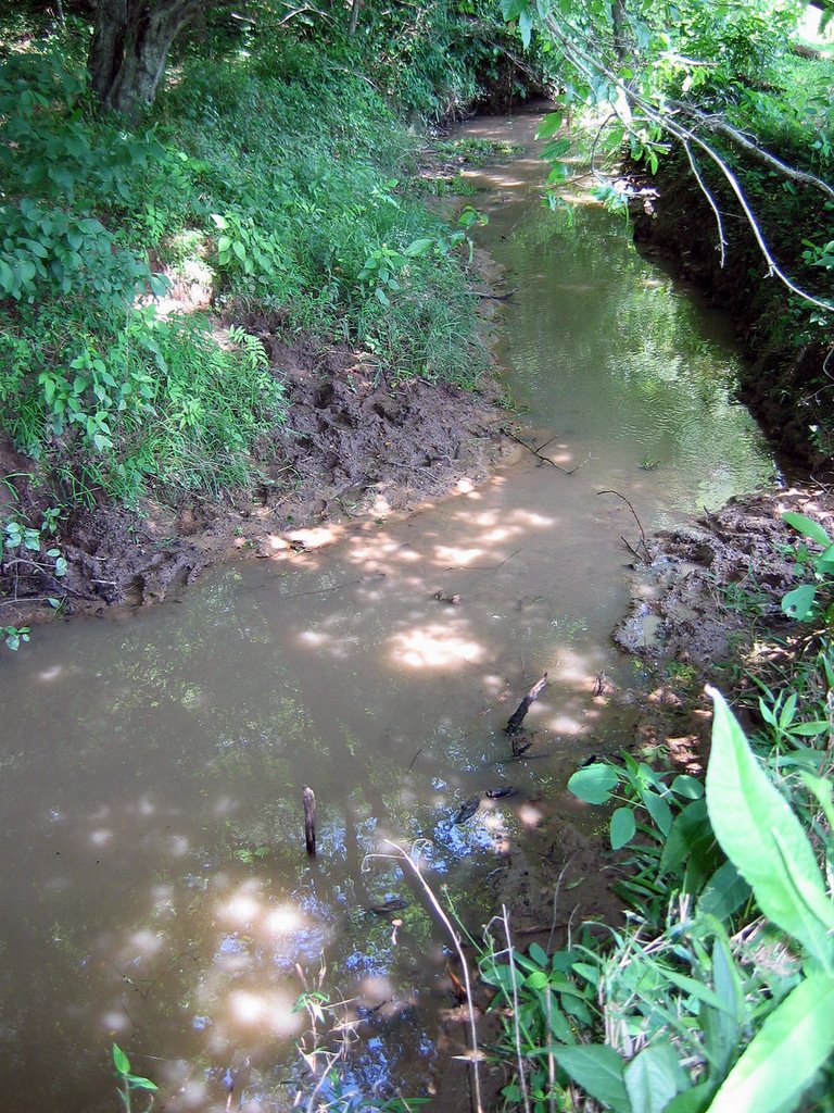
 We moved towards our next two stops, along County Road 86 in Lawrence County to the west on the edge of the Bankhead National Forest. CR 86 turned out to be a recently well-graded and very engineered gravel road inside the Bankhead, running south into the heart of the Black Warrior Wildlife Management Area. Gillespie Creek was our first stop and it was well trampled by horses. The creek was mostly one deep pool below the road, drizzling into a longer series of stagnant, woody debris-choked pools. We pulled the seine through the first pool and found an interesting diversity of minnows: scarlet shiners, striped shiners, creek chubs and rosyside dace. Lower pools yielded only Gambusia, as far as we could work the seine. We found no flame chubs in this creek. Below is a photo of the roadside pool; notice that the plants in the foreground are silvery from a coating of gravel dust kicked up by passing vehicles.